I’ve been flying rental aircraft since my discovery flight in 2009, but purchasing my own airplane has been a dream since the day I received my certificate. The level of freedom and flexibility afforded by ownership is simply not possible when you’re trying to schedule trips around a rental schedule.
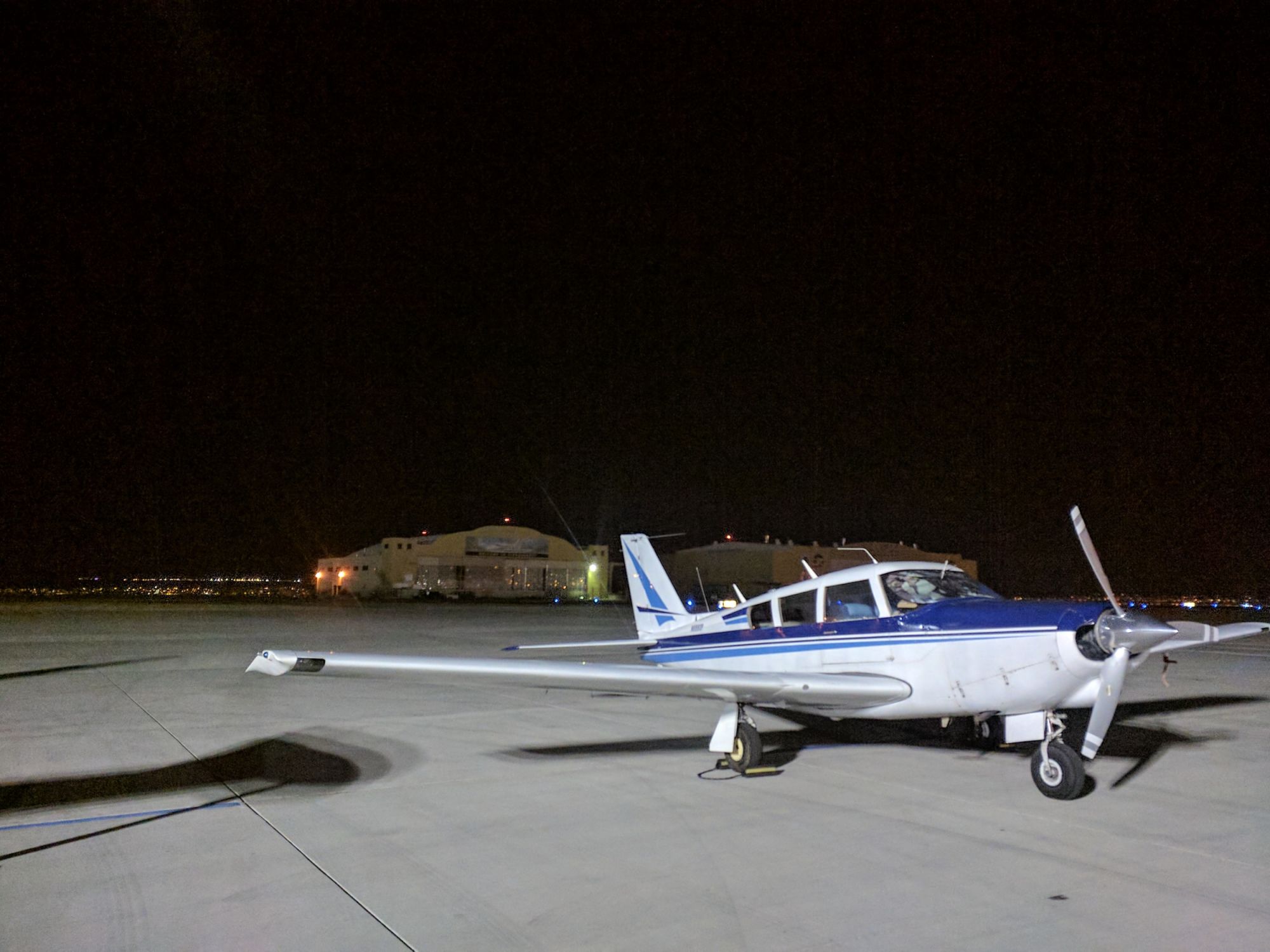
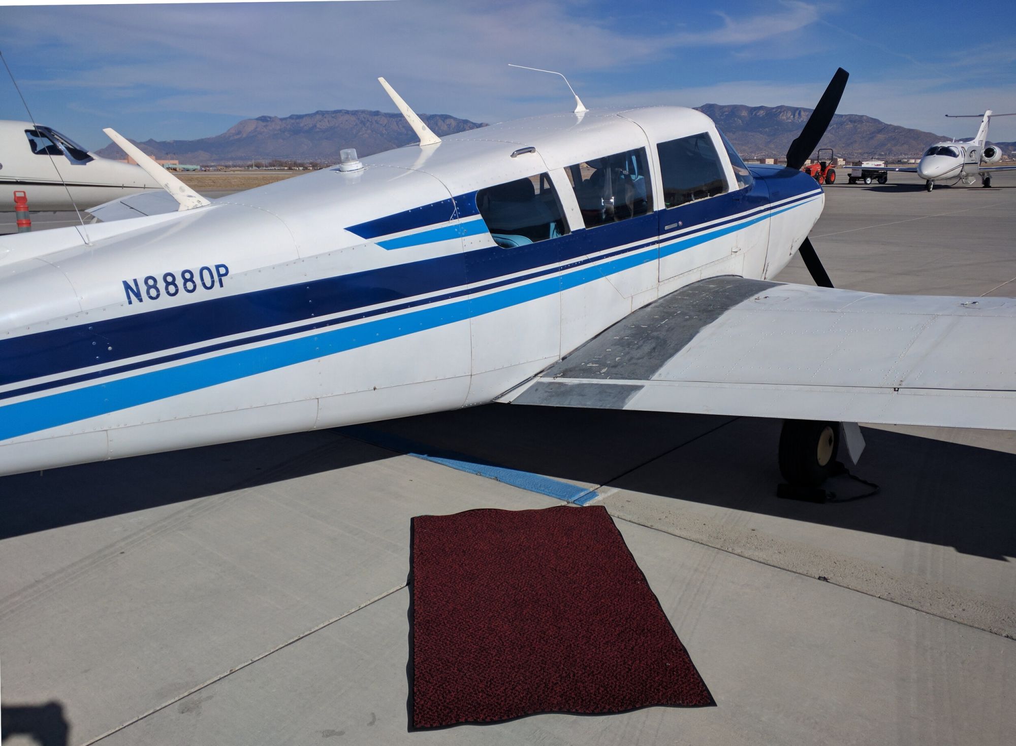
After years of daydreaming, what-ifs, planning, saving, and wasting far too much time in the bowels of Barnstormers, I discovered my perfect plane - a 1965 Piper Comanche - and finally joined the ranks of aircraft ownership. Before the engine cooled from the purchase flight from Montana to Los Angeles, I began daydreaming of future trips. Showing the new toy to my family obviously ranked as “extremely high” on my list of ideas, and an adventure began to brew.
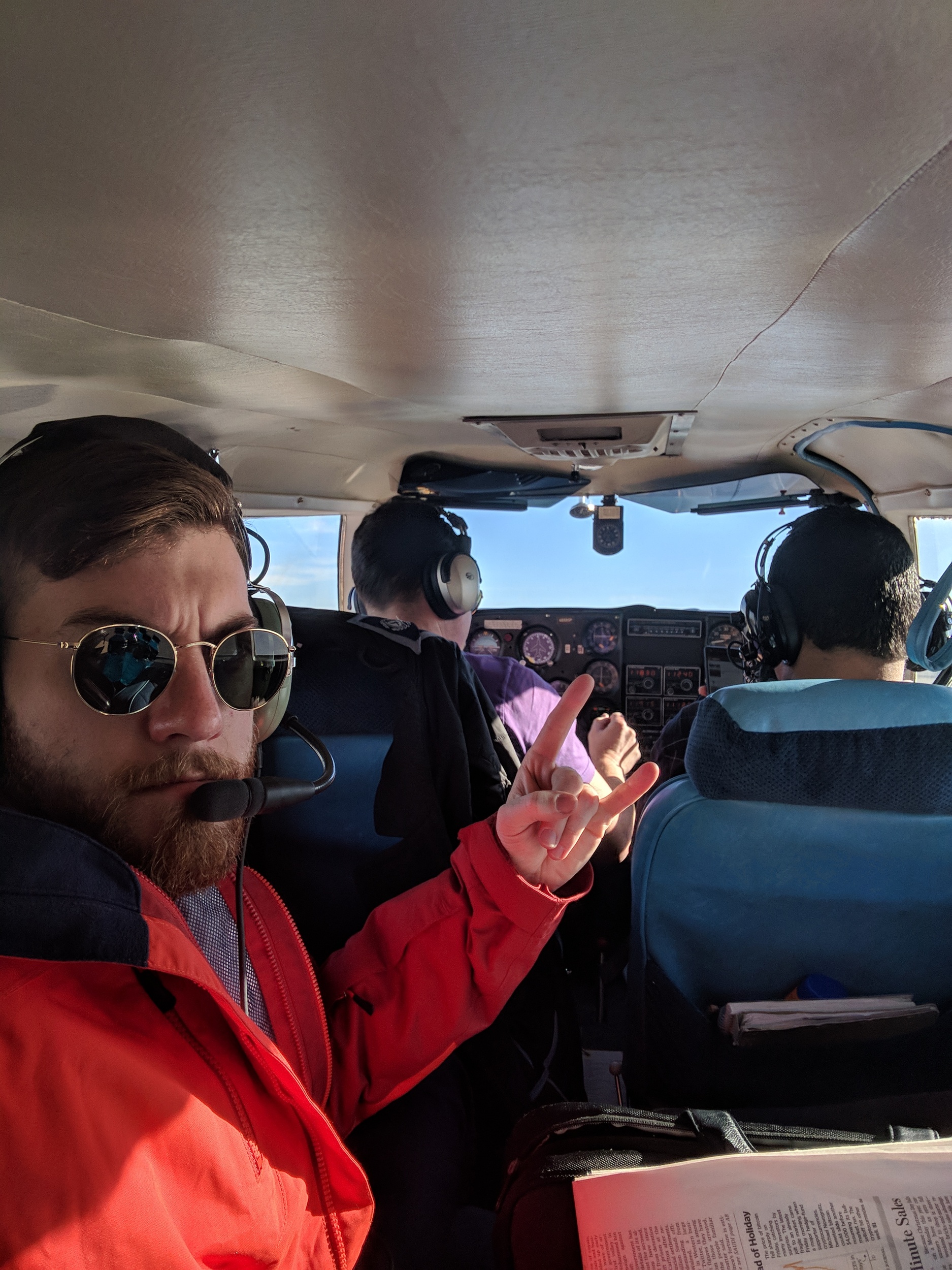
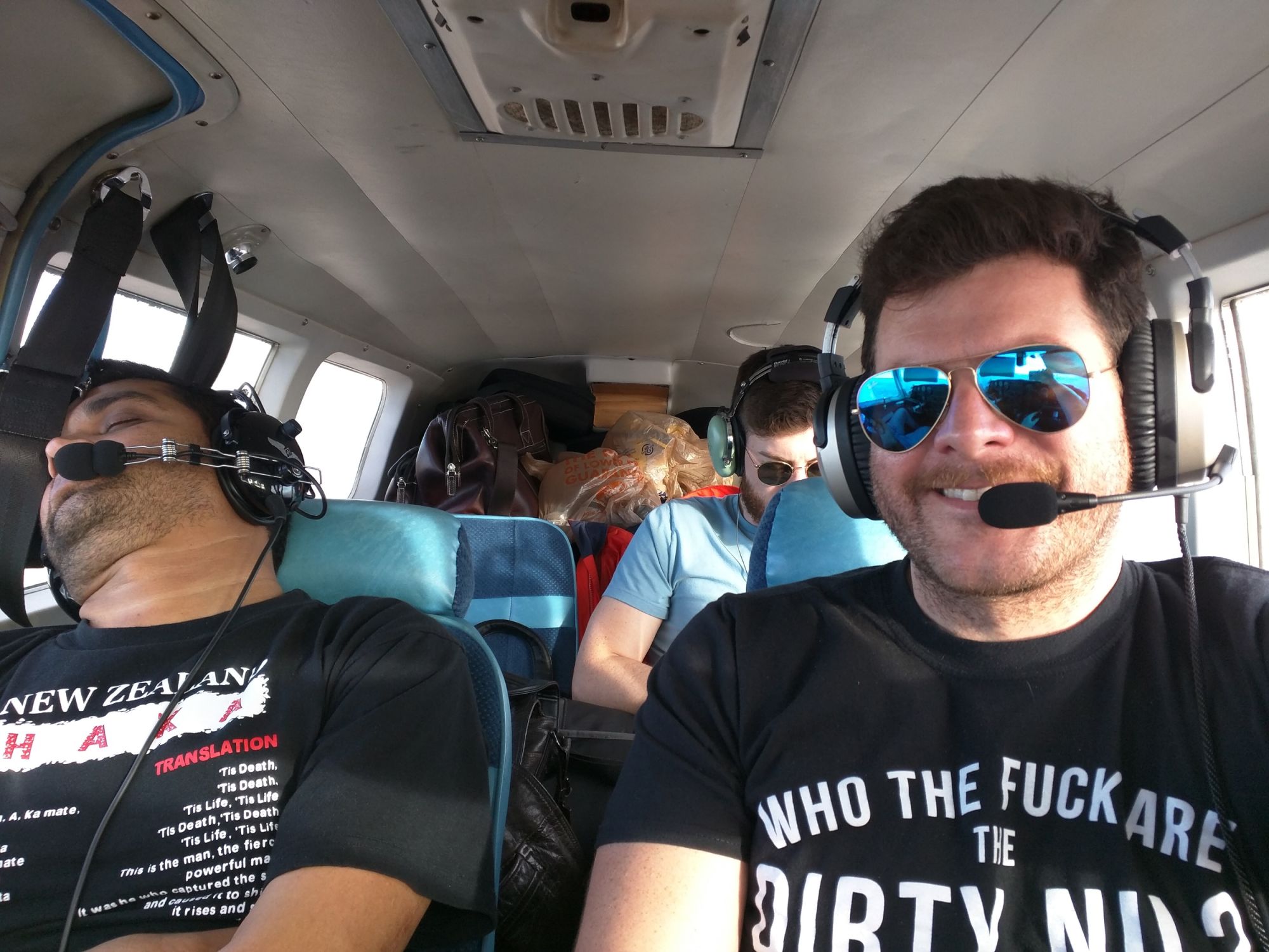
My Brother Andy and I are West coast transplants from Georgia. He was immediately on board with my wild plan, and my equally adventurous roommate Rahul also offered to join us for the cross country trek. Rahul would be stopping in Texas, while Andy would continue to Georgia with me. Unfortunately, I couldn’t talk Maoli into taking this trip with us - perhaps next time!
Preparing for the Trip
The first time you cross the United States in a small aircraft, it seems like an overwhelming undertaking - doubly so with a plane I’d owned for a month. I had around 450 hours of flight hours, and plenty of trips in the 3-4 hour range. Traveling from California to Georgia was forecast to take around twelve hours of flying, double the time I’d spent flying 08P back from Montana the month prior.
Asking others for advice is a great way to avoid pitfalls (at least the common ones), so I asked the pilots over at /r/flying if they had any tips. The responded with plenty of good recommendations, like “bring pee bottles and snacks” were helpful - check out the thread for more.
Aside from preparing the plane and performing research, I kept a very close eye on weather trends in the weeks leading up to the trip - Wunderground (2019 note - I now use Windy) for the far forecasts, and AviationWeather.gov for prog charts and near-term forecasts as the date approached. As Friday approached, I was feeling confident in the weather forecast, preparation, and trip route.
For trip routing, I used SkyVector to plan a general route. I then use FltPlan.com for accurate fuel/time calculations based on my specific aircraft performance numbers. I then hunt for fuel stops with the fuel tools at AirNav (also useful for FBO reviews) (2019 note - I have started using Rampfee.me to get an idea of any FBO fees!).
The day of the flight I use 1800WXBrief.com for my weather briefing and file my IFR flight plan for the leg via FltPlan.com.
Heading East
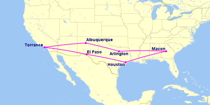
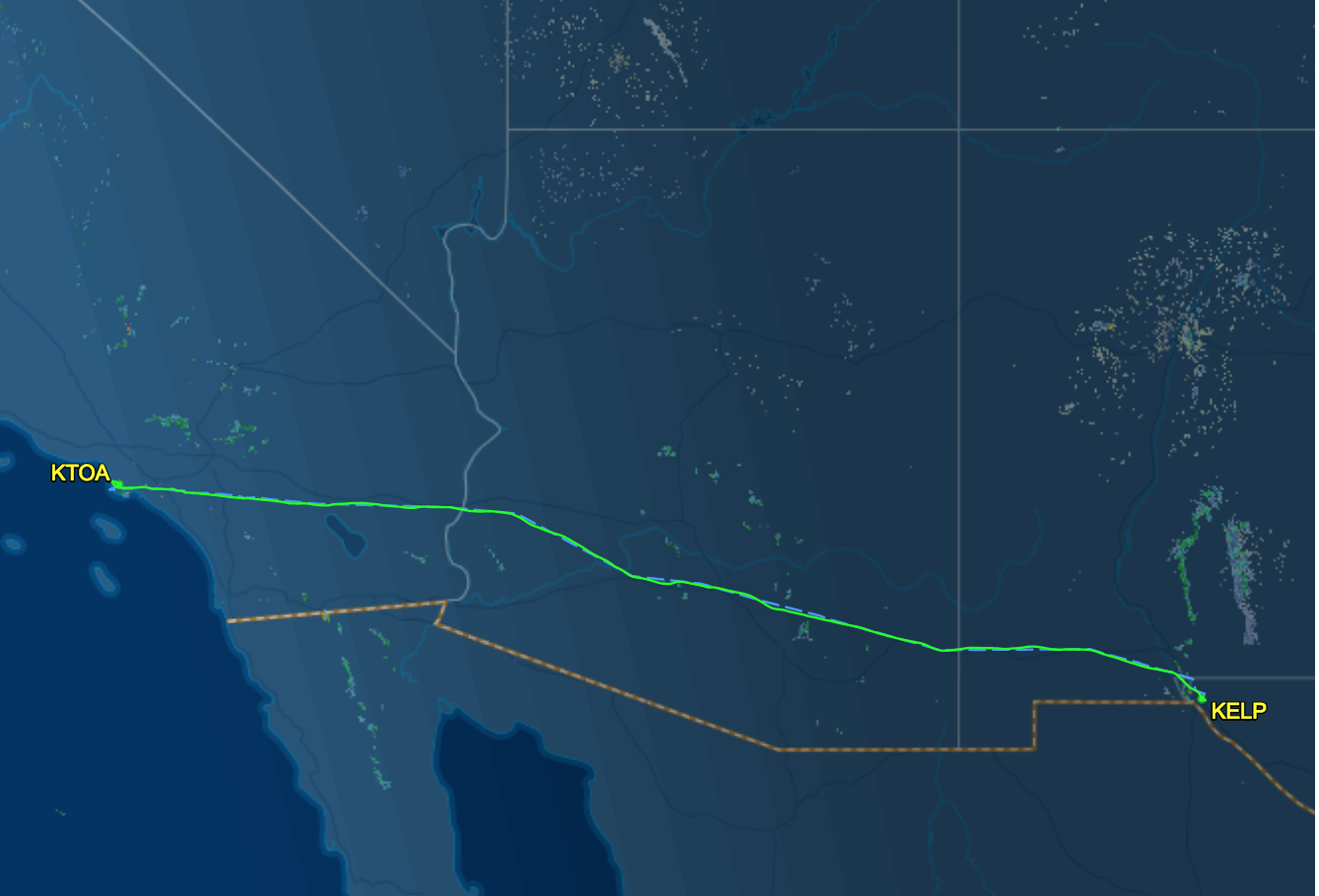
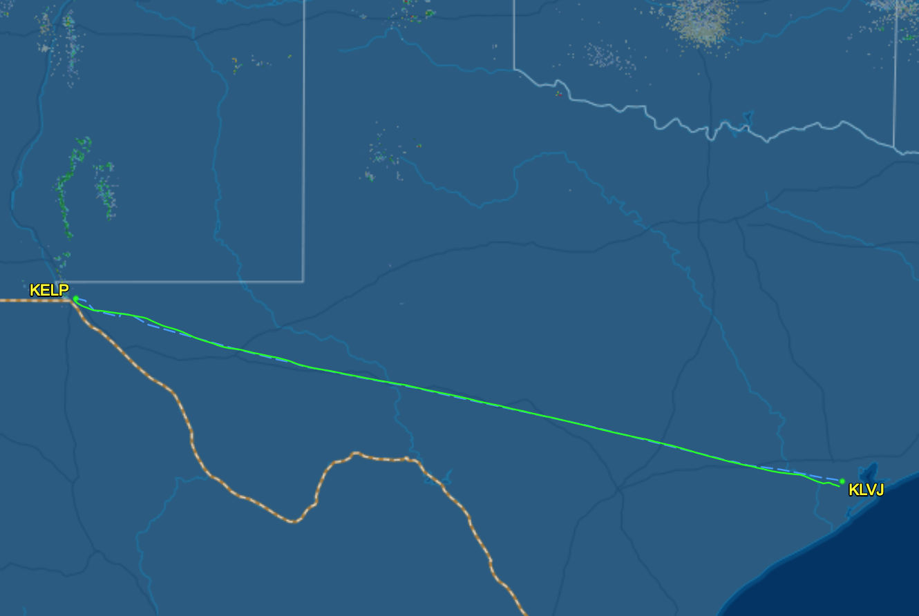
Leg 1 - Los Angeles, CA to El Paso, TX
Andy, Rahul, and I got to the tie-down at Torrance Airport (KTOA) shortly after noon on Friday and proceeded to stuff all our gear and snacks in to the plane. After an extra thorough preflight, some pre-trip jitters, and a final restroom break, we were off.
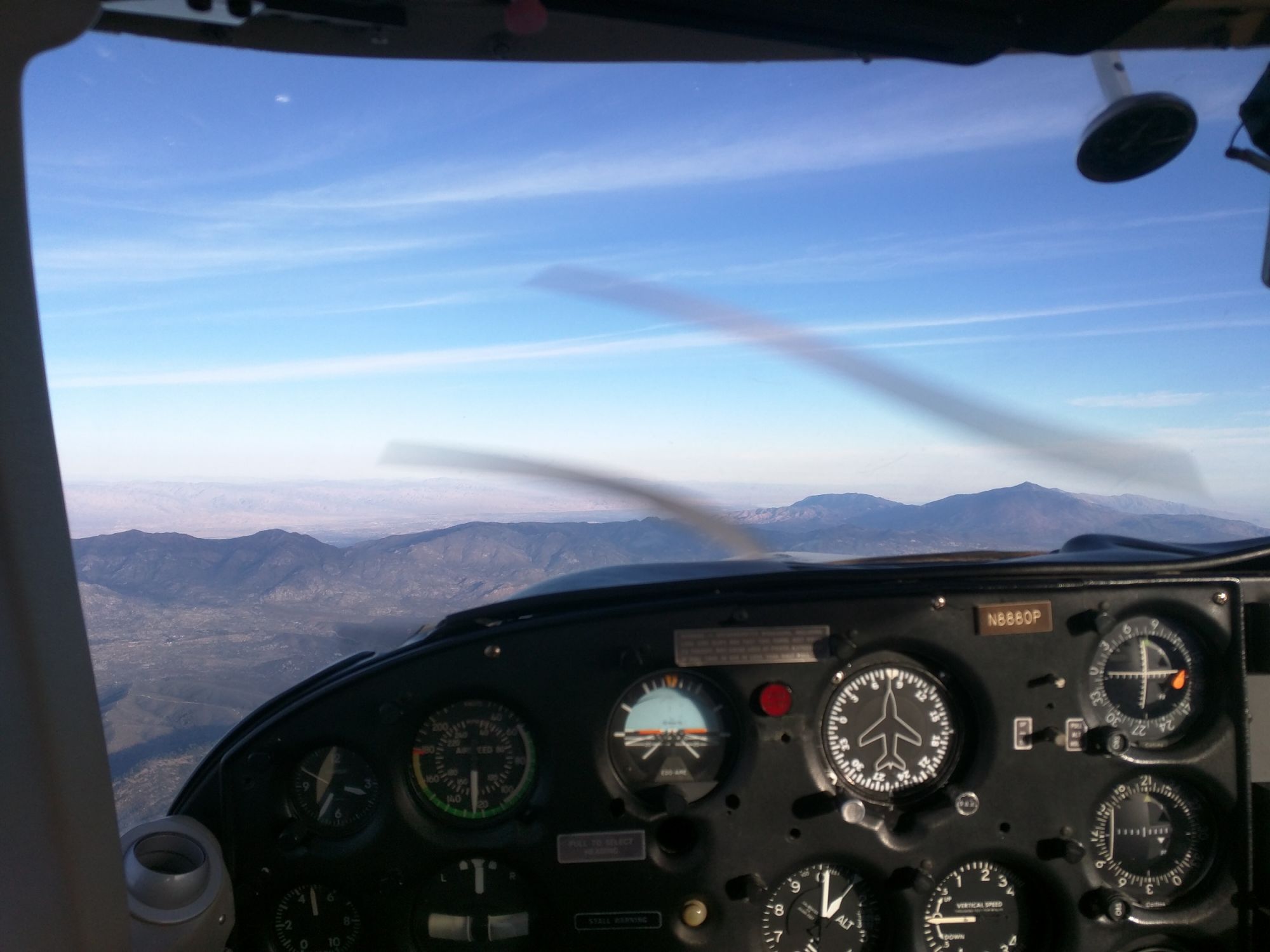
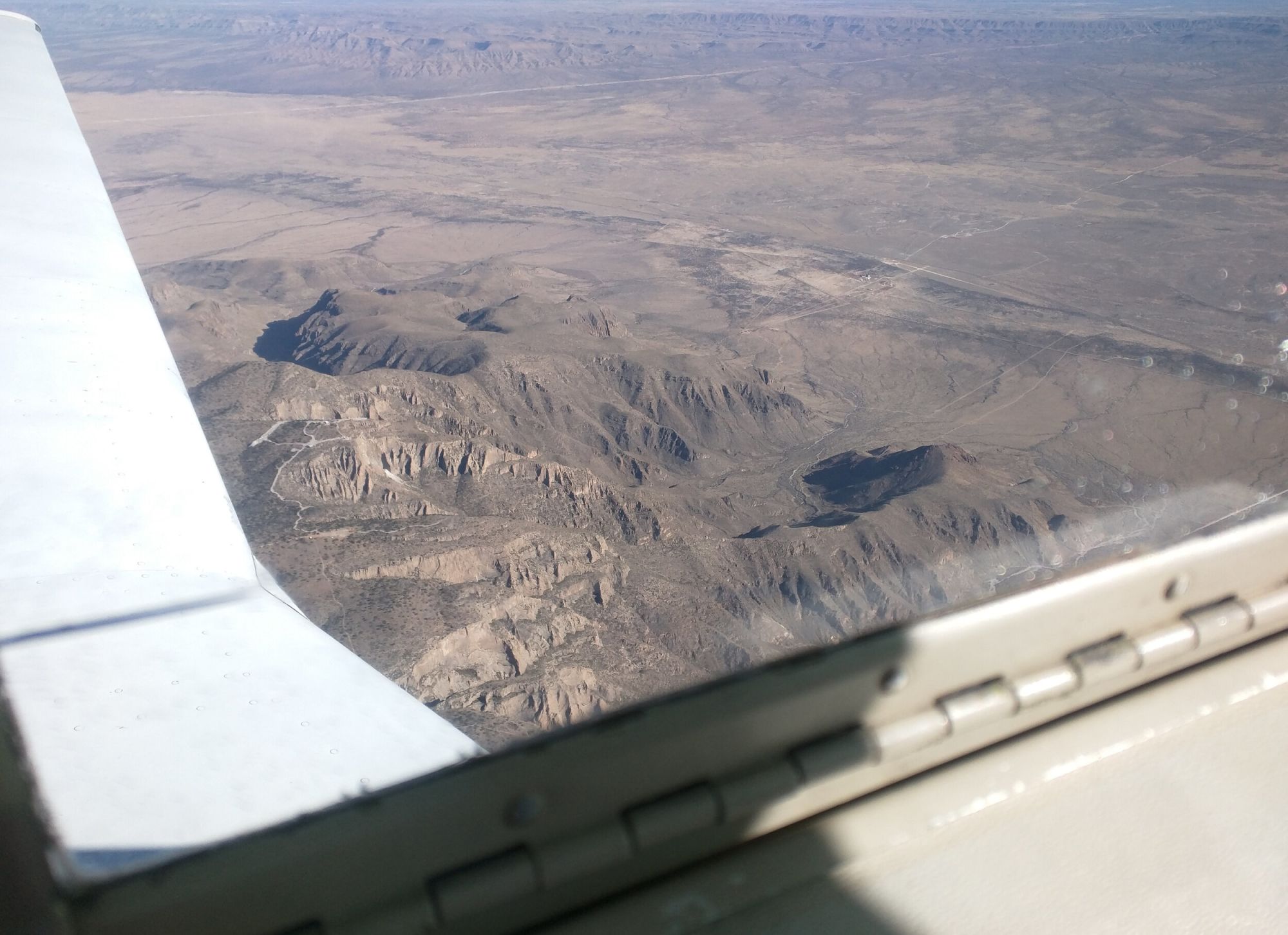
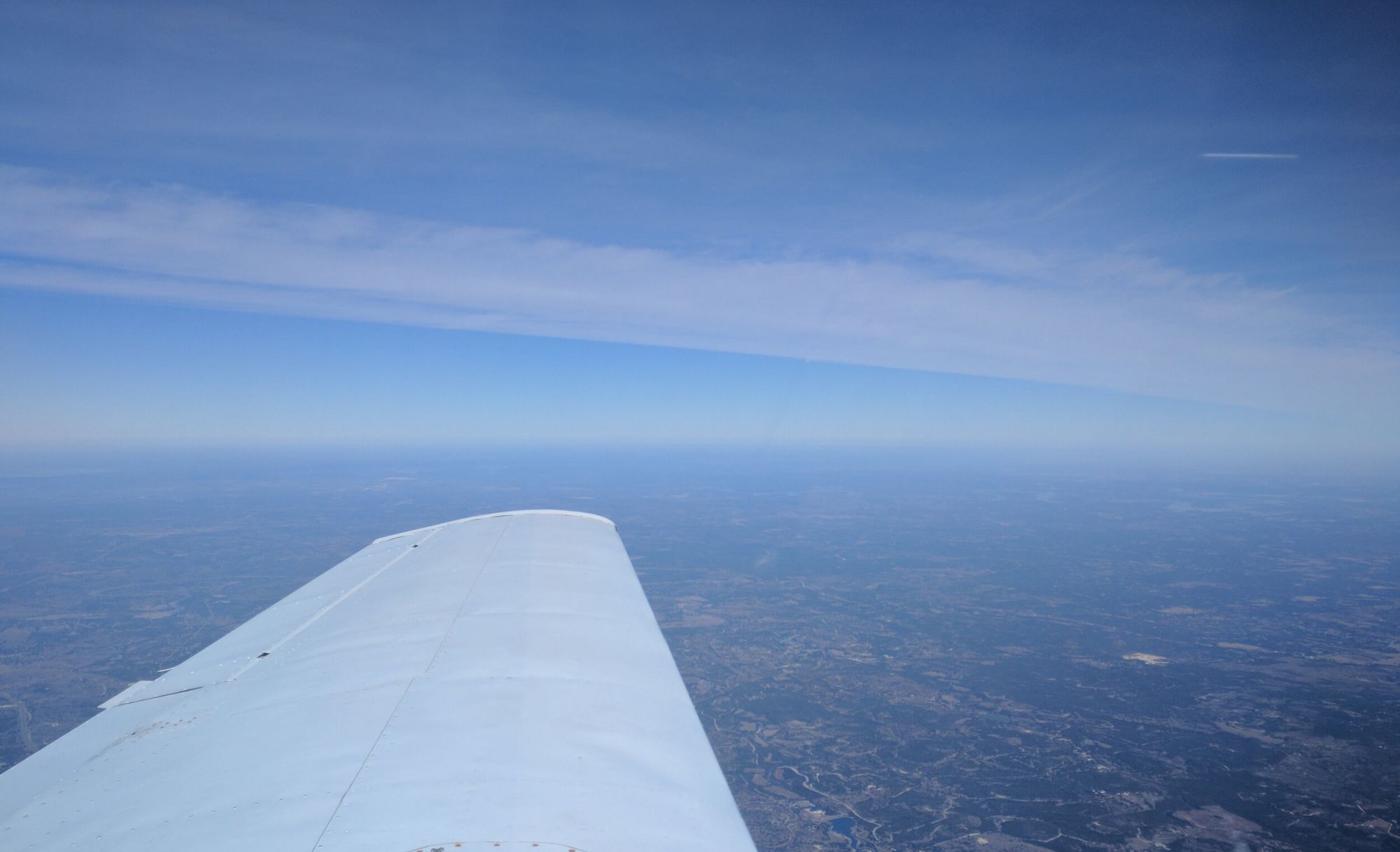
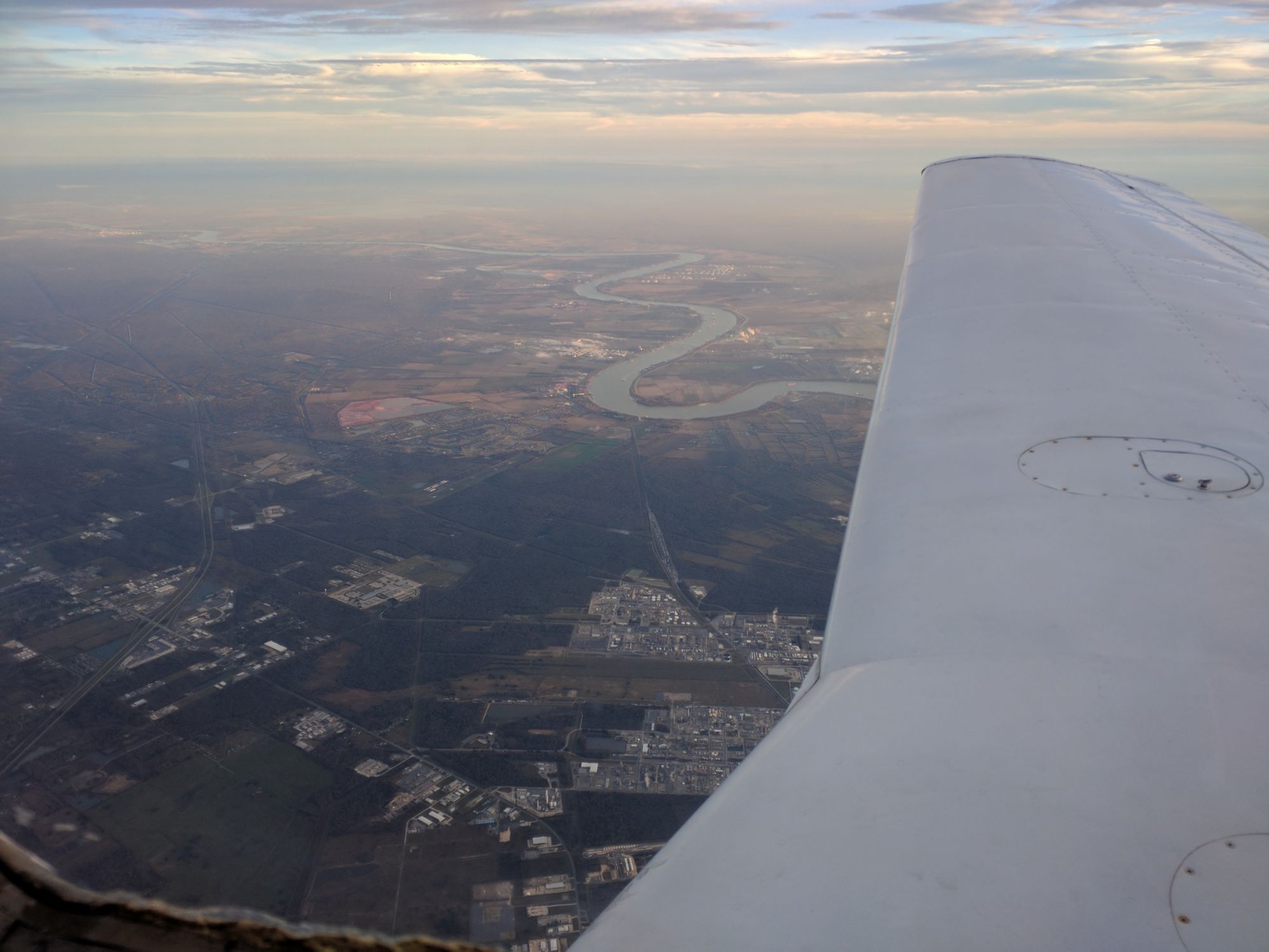
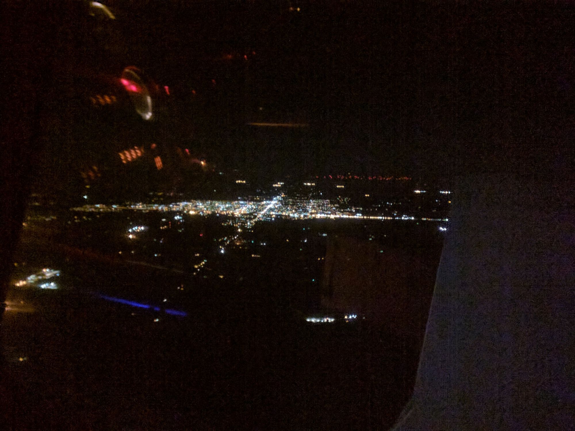
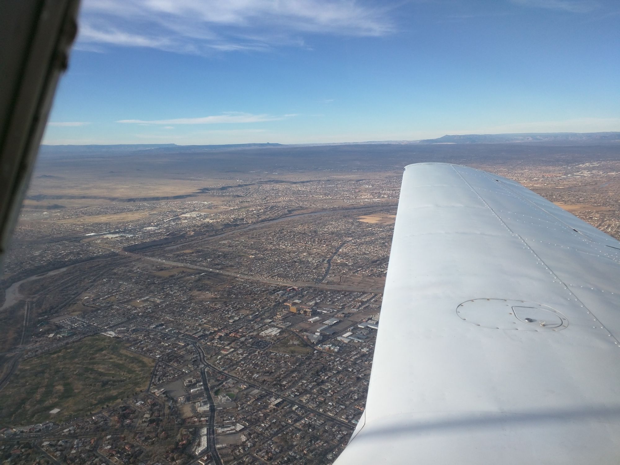
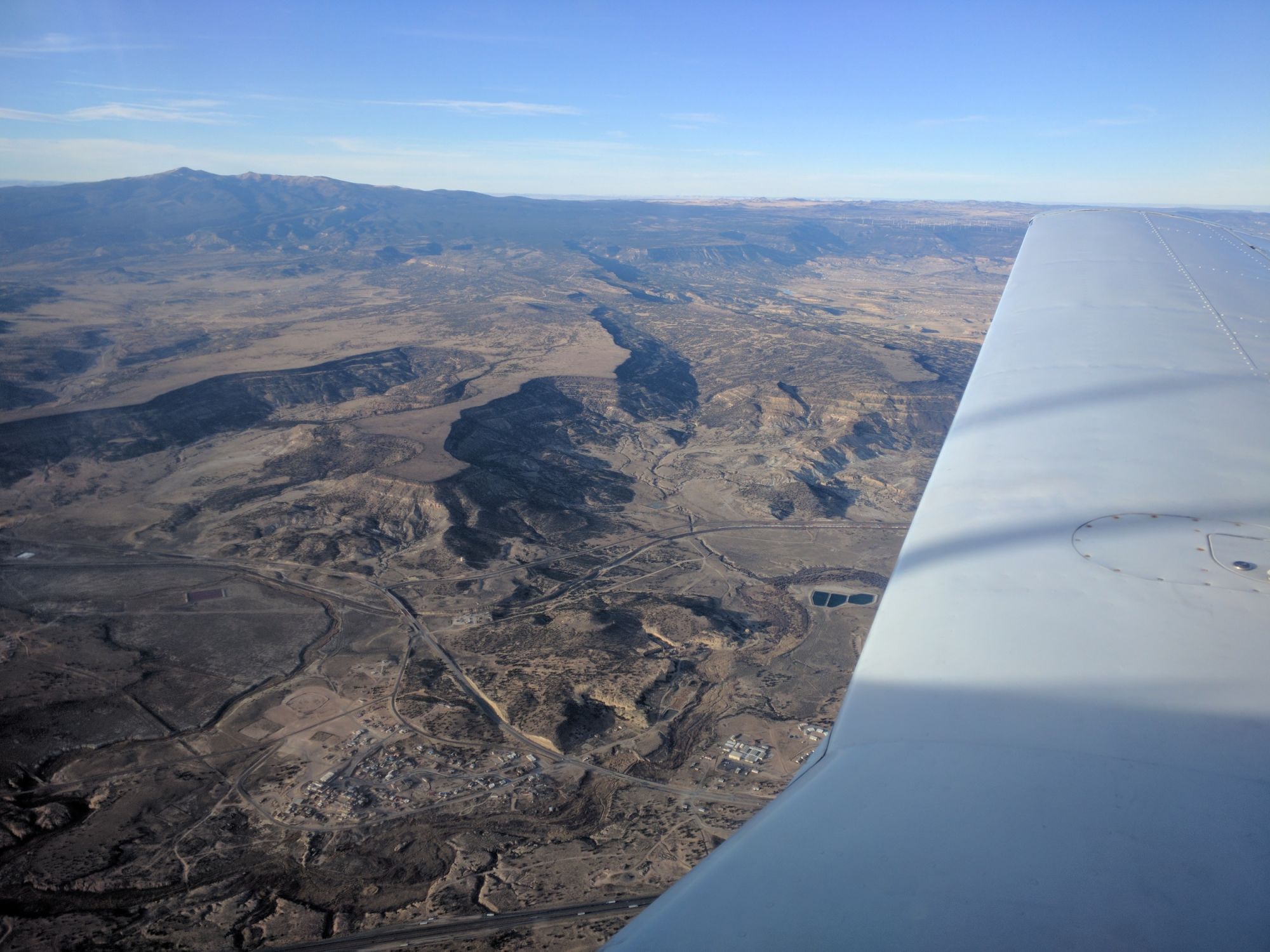
We departed around 3PM PST (2300Z) on December 22, 2017. I filed an IFR plan for our trip even though weather conditions were VMC to allow friends and family to track us on FlightAware. The trip itself was uneventful, with no crazy routings and nice weather. Cruising over the over the Mojave desert as the afternoon hours stretch on is a sight that I always enjoy. Once you’re east of Palm Springs, civilization is sparse and the radio chatter dies down. Flying over the high desert, the only real obstacles to avoid are the various restricted areas - keep a close eye on your location.
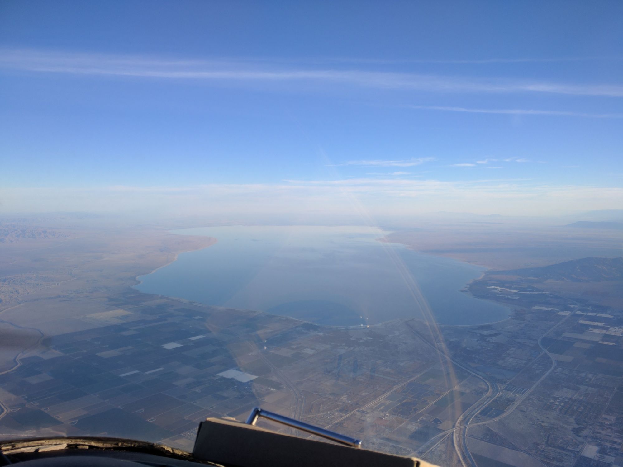
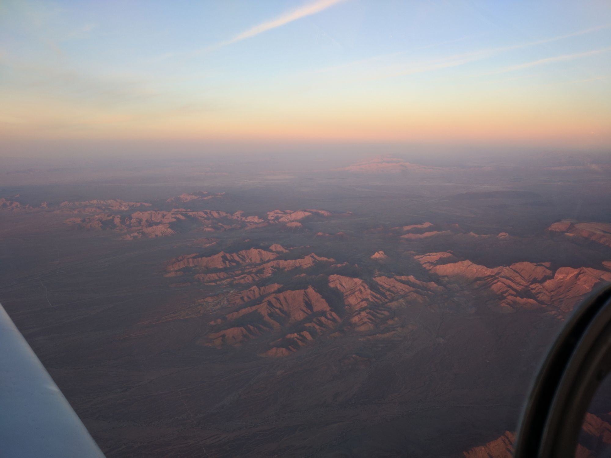
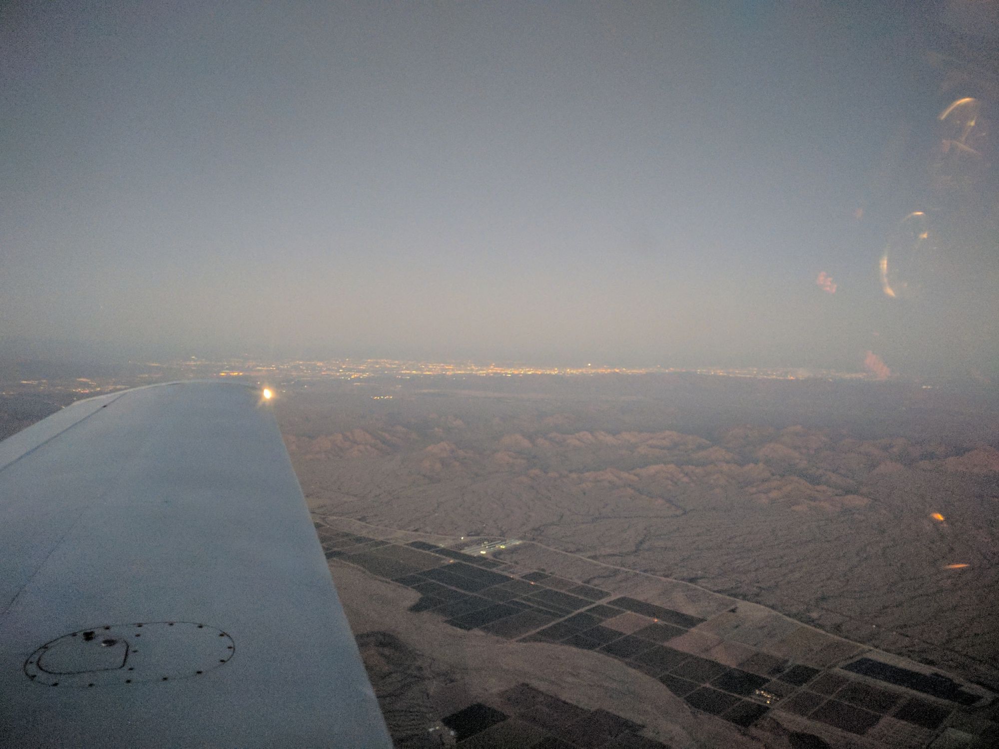
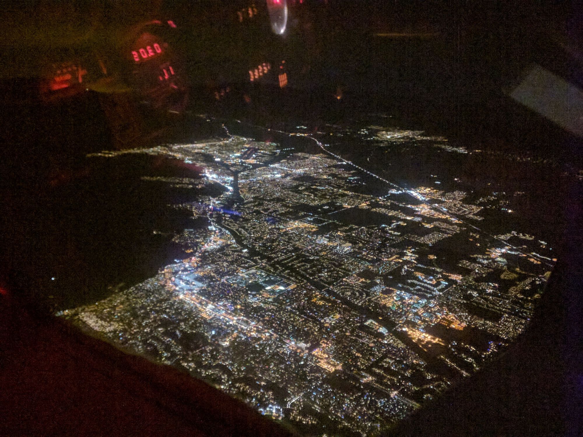
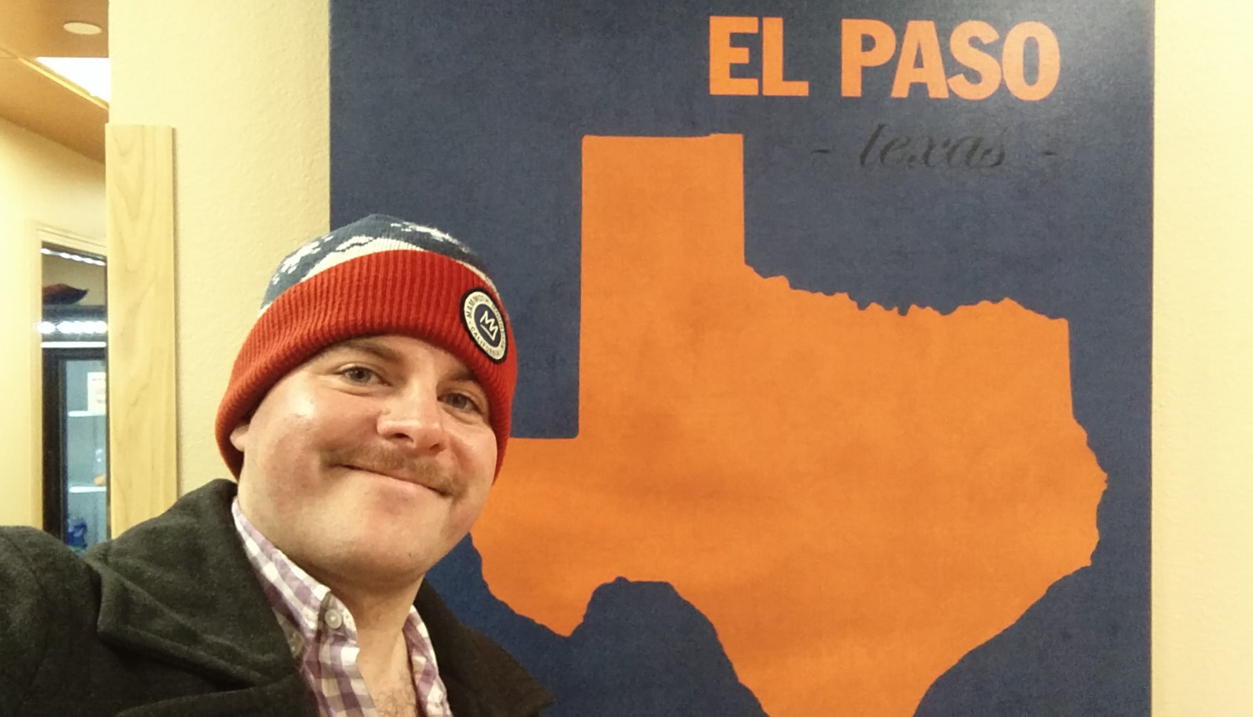
We saw sunset as we crossed the Colorado river and entered Arizona. Our first destination was El Paso, which conveniently kept us south of the White Sands restricted area. About 8PM MST (0400Z), we began our decent to KELP, cleared for the visual approach runway 26L, for a total hobbs time of 4.6 hours. Arriving in the El Paso area was simple and the controllers were great. Even though the flight was great, I was exhausted when I stepped foot on the ground at Atlantic Aviation!
Chatting with the linemen, we learned that we missed the SpaceX launch from Vandenberg AFB (which is on the coast of California), which created a contrail visible from El Paso. I wish we’d looked back to see that. A future goal: watch a SpaceX launch from the air! The very friendly staff also informed us that El Paso home to NASA’s Super Guppy, which we could check out the following morning.
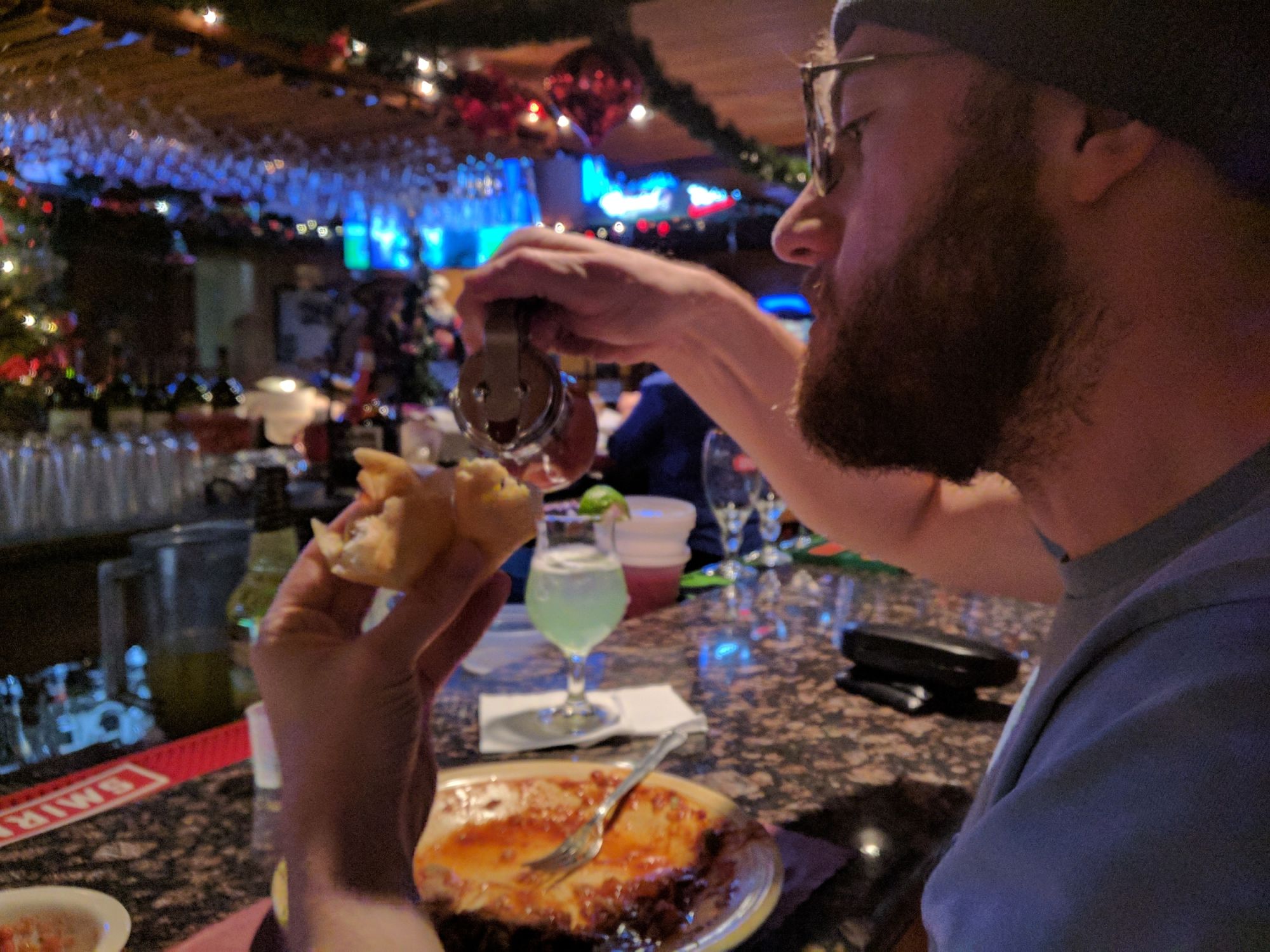
After leaving the airport, we headed to the hotel to drop our bags, then headed out for a late dinner at Craft and Social. After dinner we returned to the hotel, and I suspect we were asleep before our heads touched the pillows.
Leg 2 - El Paso, TX to Houston, TX
Saturday morning, we woke up bright and early, grabbed breakfast from the hotel buffet, and headed back to the airport to continue our adventure. As promised, the Atlantic Aviation staff was happy to show us the SuperGuppy - which was quite the sight!

As a happy coincidence, my friend Alex was in the area to pick up his new plane - and he was also heading back to Georgia. Unfortunately, he needed to run to San Antonio for an avionics update and had departed El Paso a few hours before we arrived the prior night. However, we’d both be in the air heading East at the same time (though a few hundred miles apart), and planned to attempt a long distance radio chat.
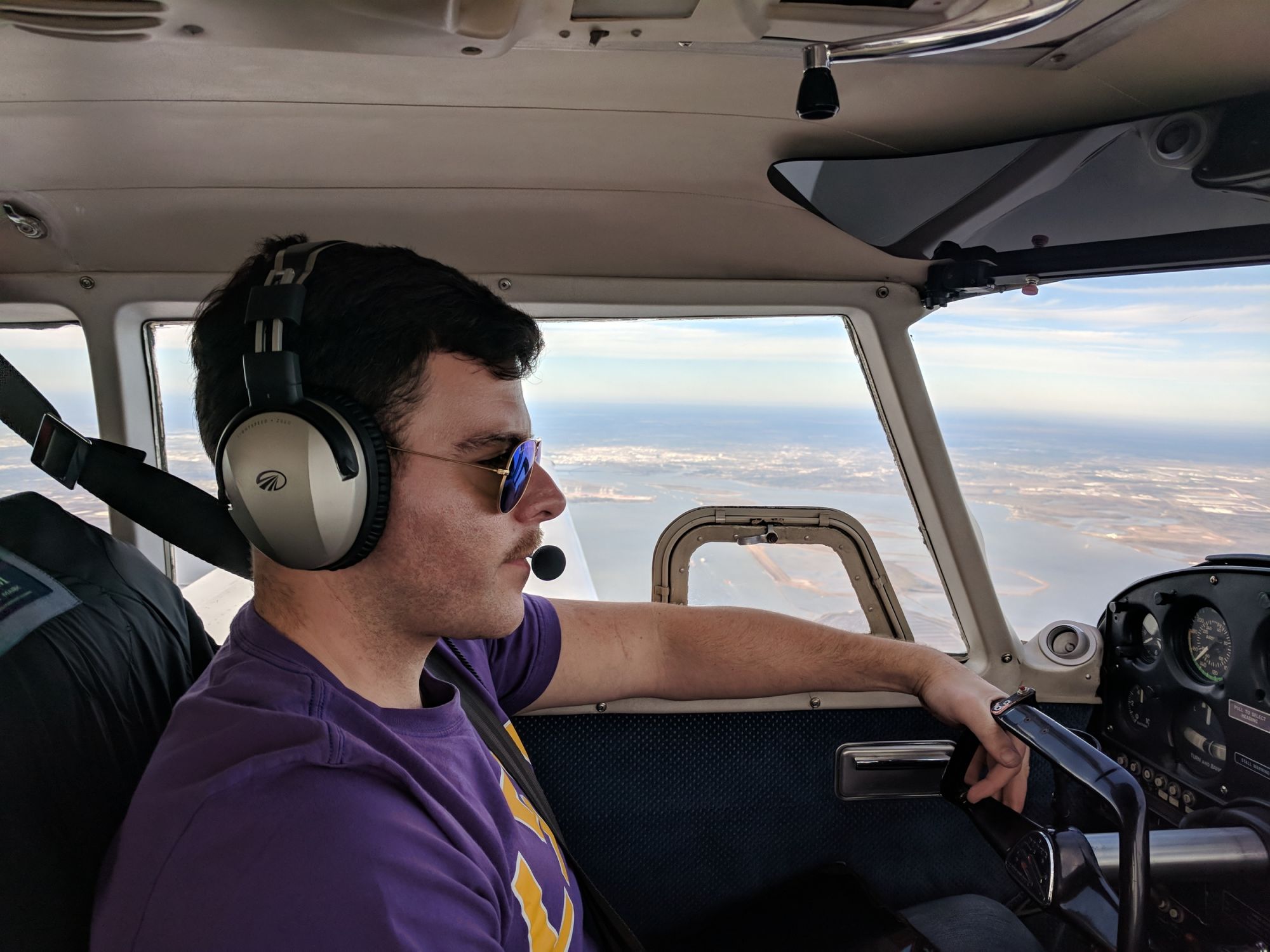
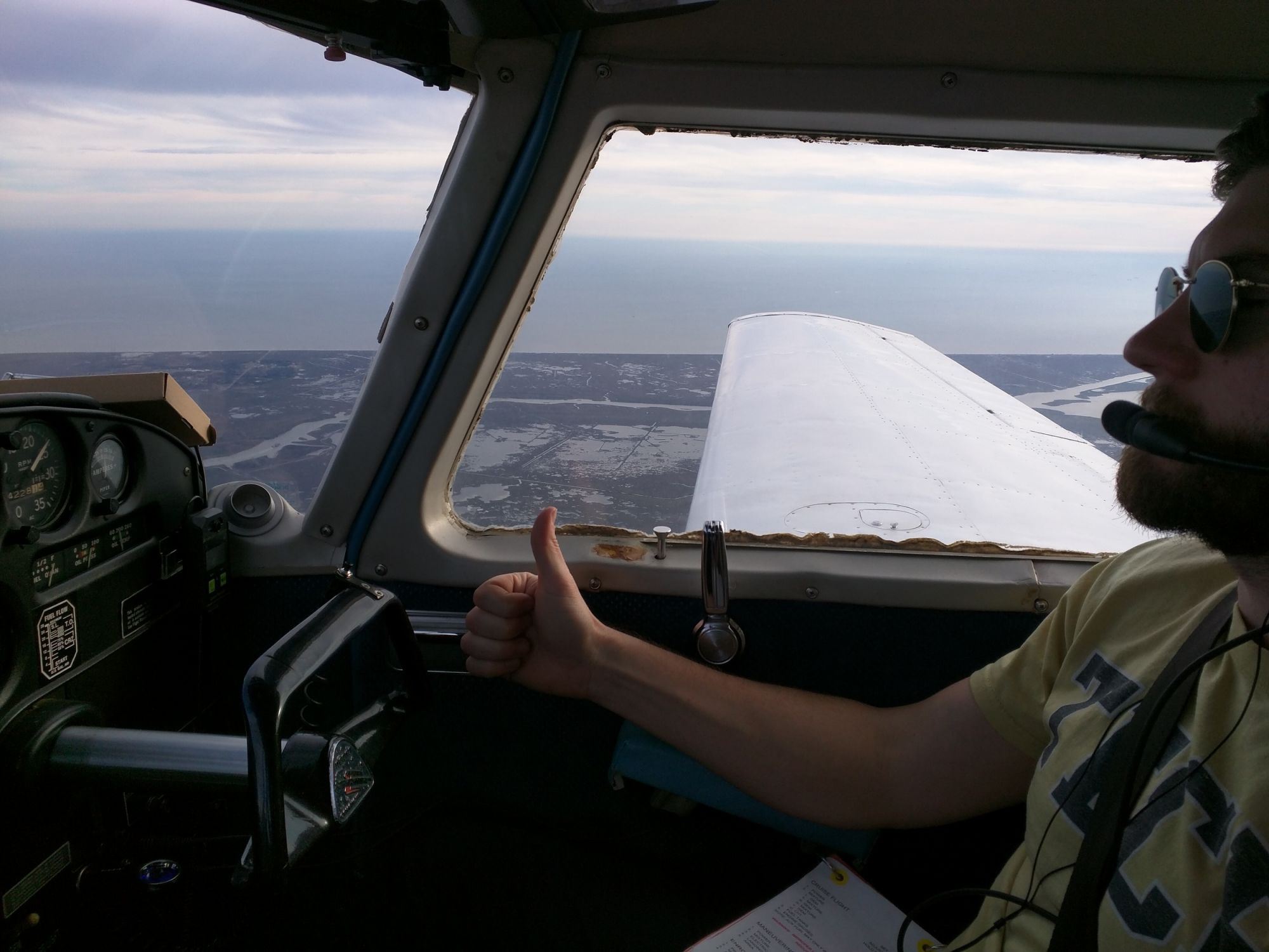
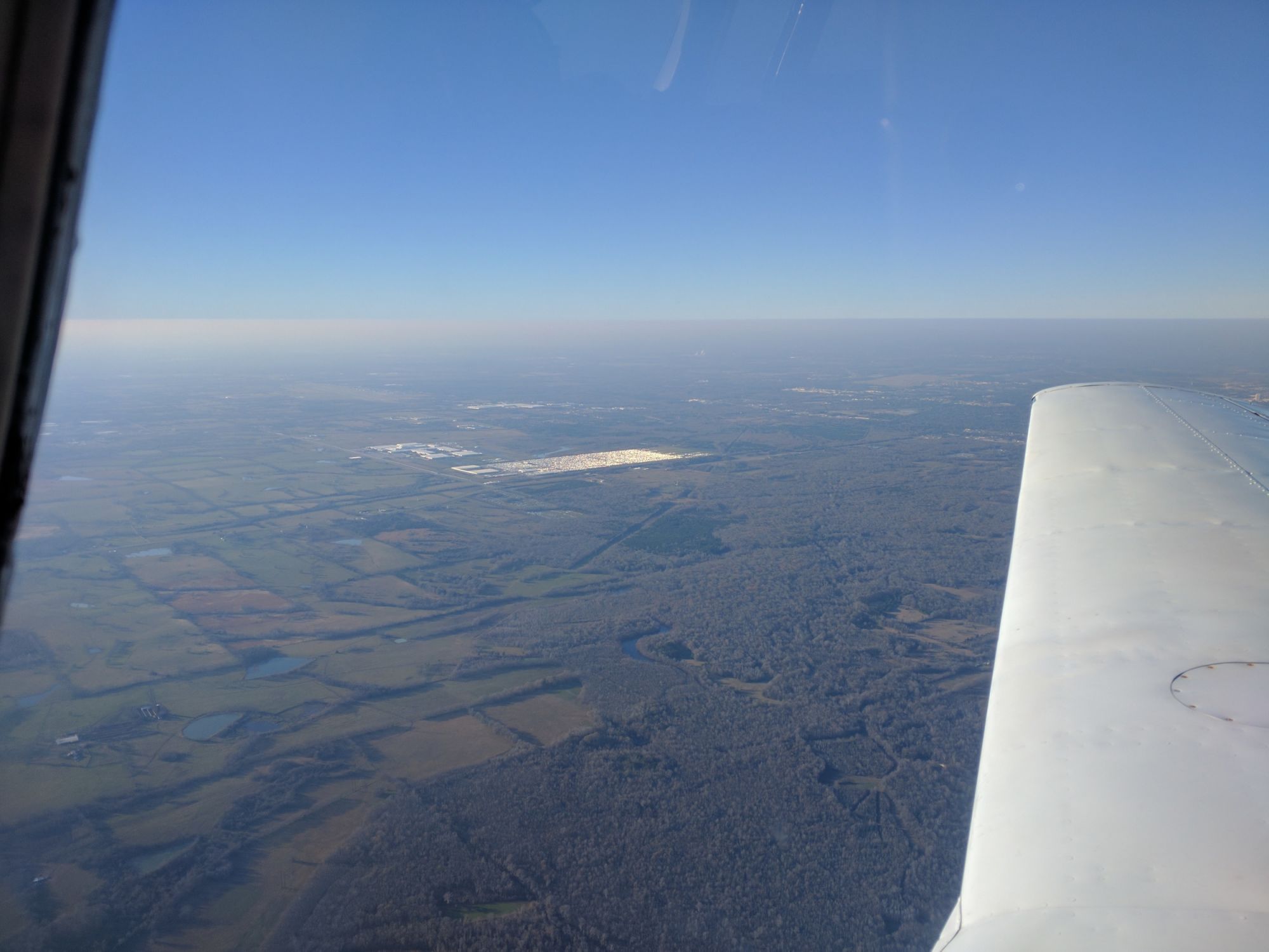
After settling the tab and loading our gear into the plane, we picked our clearance (IFR in VMC again), taxied out, and launched to the east. The flight from El Paso to Houston was another long easy flight with few obstacles. A few miles east of El Paso, all signs of civilization vanish, leaving nothing but wild plains, the random ranch house, and the pencil thin line of I-10 stretching toward the horizon. Strange how the engine seemed to run rough every time I glanced away from the gauges to study the dusty hills. Fortunately, 08P hummed along happily, making quick work of the miles between us and the next bastion of civilization - and the tailwinds began to increase, pushing our ground speed up beyond 170 kts at 11,000 ft.

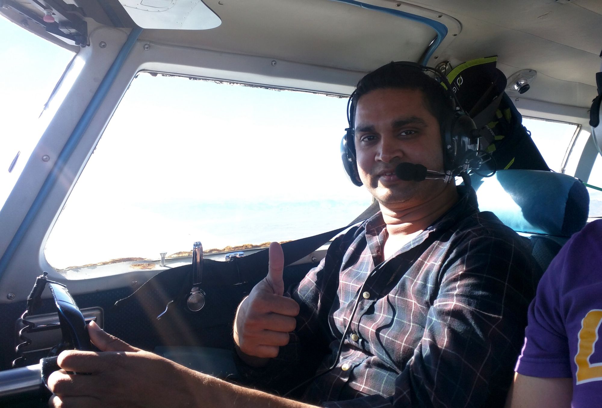
Along the way, I made a few calls on the air to air frequency (122.75) to Alex. For the first couple of hours, there was no response - but then suddenly, a reply! Given the distance, it was faint but we at least pick each other up. We estimated a distance of around 200 nm between us.
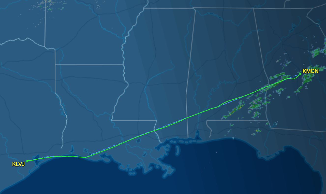
Around 1⁄3 of the way to Houston, ATC asked if I could accept a direct routing (because of equipment limitations, my IFR flight was planned along victor airways). I informed them that I did have a “situational awareness” device onboard (my Android tablet running Avare). ATC proceeded to provide a heading and direct clearance to Pearland (KLVJ), shortening our route by several miles.
As we neared Houston, the skies began to show evidence of the cold front that had recently traversed the area, in the form of high stratus clouds. All the jets cruising along at FL33+ were complaining about turbulence at their altitudes, but at 11k we enjoyed smooth air for the entire flight.
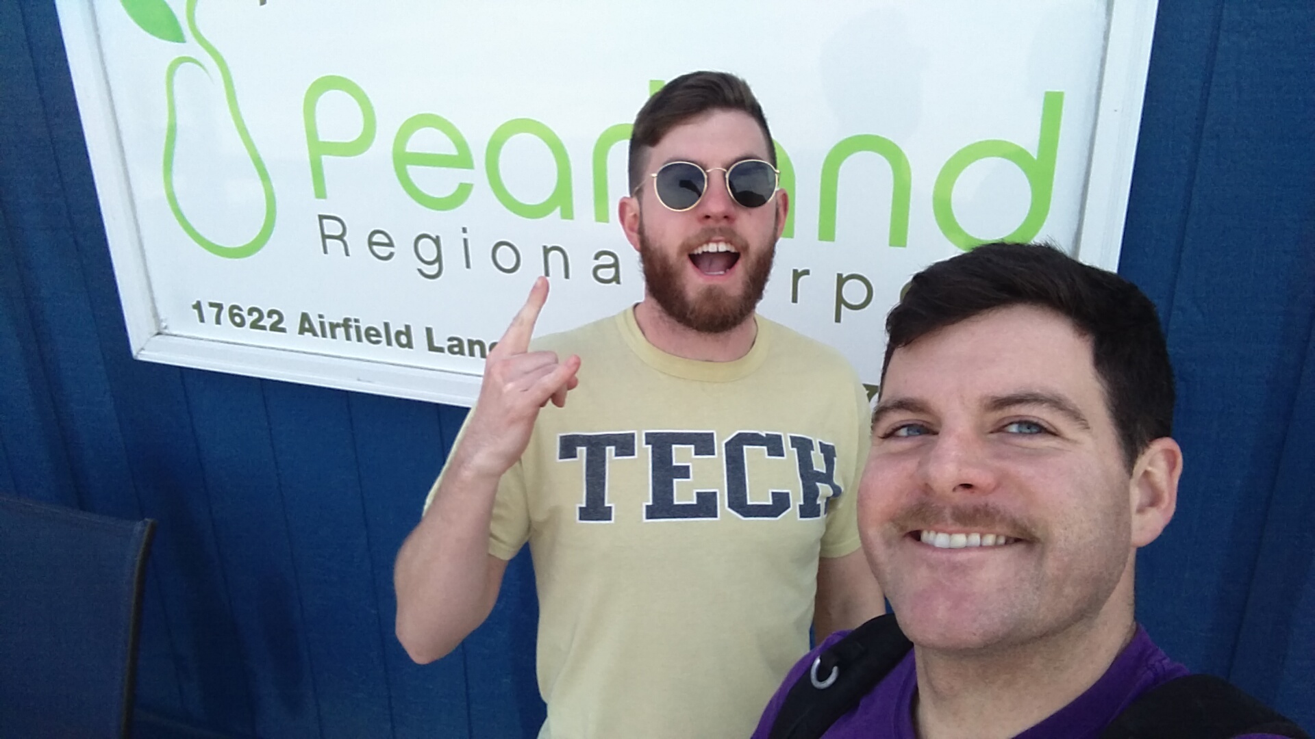
Arriving in the Houston area, we were given vectors to the visual approach, and completed our trip uneventfully. Pearland was Rahul’s stop, so we unloaded his gear and headed into the FBO to stretch our legs, visit the head, and grab a cookie.
Leg 3 - Houston, TX to Macon, GA
After saying goodbye to Rahul, checking the weather, filing our next flight plan, and topping up on fuel, Andy and I launched for the final leg to Macon. On departure, Houston ATC vectored us out over the Gulf for a few miles (queue more phantom engine roughness), before turning us in to the shore around Lake Charles. As we continued chasing the cold front eastward, our ground speed picked up, topping out a little over 200 kts. North of Baton Rouge, Louisiana, ATC gave us another direct routing, shortening our journey by a few more miles. Passing New Orleans, we were given a climb up to 13,000 ft for traffic which I accepted (with a 30 minute limitation) - setting a new personal altitude record!
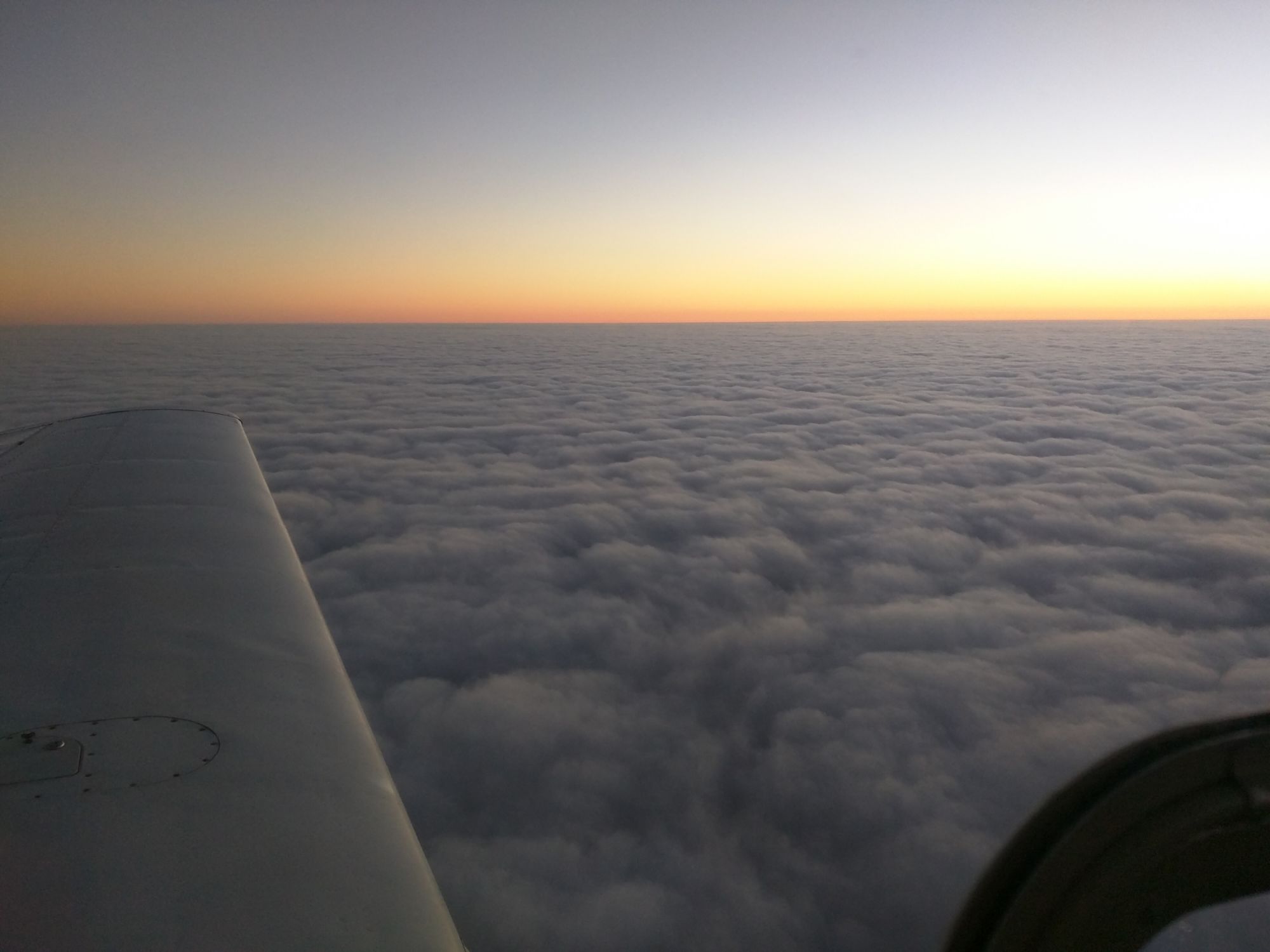
As the sun crept towards the horizon behind us, we entered the cloud layers created by the cold front. Pleasantly, we remained in VMC on top of the lower cloud layer until just Southwest of Atlanta. Passing through 9,000 on the beginning of our descent, we began entering the clouds.
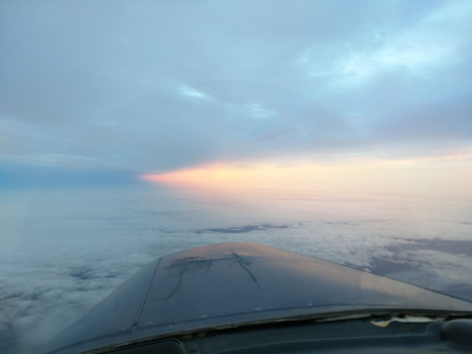
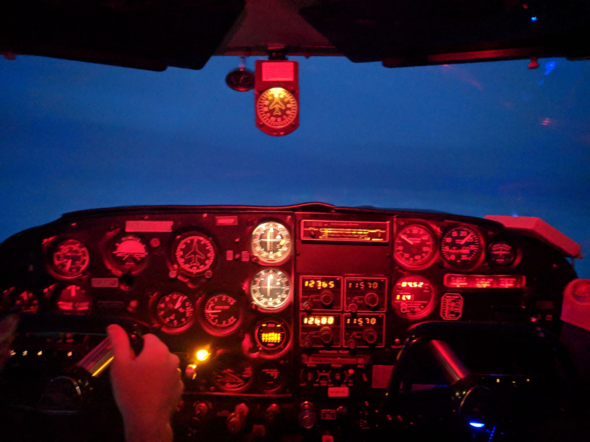
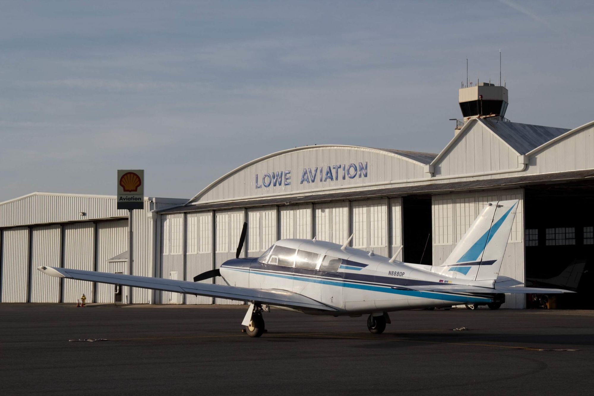
Macon Regional (KMCN) ATIS was reporting ceilings at 2800 ft - reassuring news for my first instrument approach in IMC in the new plane. Macon was also using the RNAV approach, which I’m not equipped to fly, so I requested ILS RWY05. ATC cleared me for the ILS approach and provided vectors to the LOC. The descent were nice and smooth, all the way down to the last ~500ft of clouds - where we encountered some rather “exciting” turbulence. Fortunately, a minute later (though it seemed like much longer), we broke out nice and high with great visibility. A few degrees off course, but an easy correction. The remainder of the landing was smooth, with light drizzle beginning just after we pulled up to to Lowe Aviation.
Exhausted, Andy and I piled out of the plane, grabbed our stuff, and headed into the FBO to wait for dad to retrieve us. Sadly, we missed the family dinner that night - but the rest of the Christmas visit was great. I had an opportunity to fly my family around (even my granddad, which was a special experience), and even flew over to see Alex and check out his new plane!
Heading West
After a week of family time and holiday festivities, it was time to say our goodbyes and head back to the West coast. After all, we had a NYE party to host!
Due to weather concerns (and needing a little extra time to prep for the NYE party), we departed Macon a day earlier than originally planned, on Friday December 29th. As things seem to go, we departed a bit later in the day than intended (it’s so bad that FlightAware now predicts all of my flights to be late). The Friday plan was to stop in Dallas and pick up Rahul, then to continue on to Albuquerque for our overnight stop. Saturday we planned a final short leg to Torrance.
While the East bound trip had us flying in behind a cold front, the Westbound trip would cross a stationary front in Texas, creating a band of clouds over most of the state. Fortunately, the freezing levels were high and the layer was forecast to be thin, with comfortable MVFR ceilings for the Dallas area. I also anticipated headwinds on the return trip, compared to the nice tailwinds of our Eastbound leg.
Leg 1 - Macon, GA to Dallas, TX
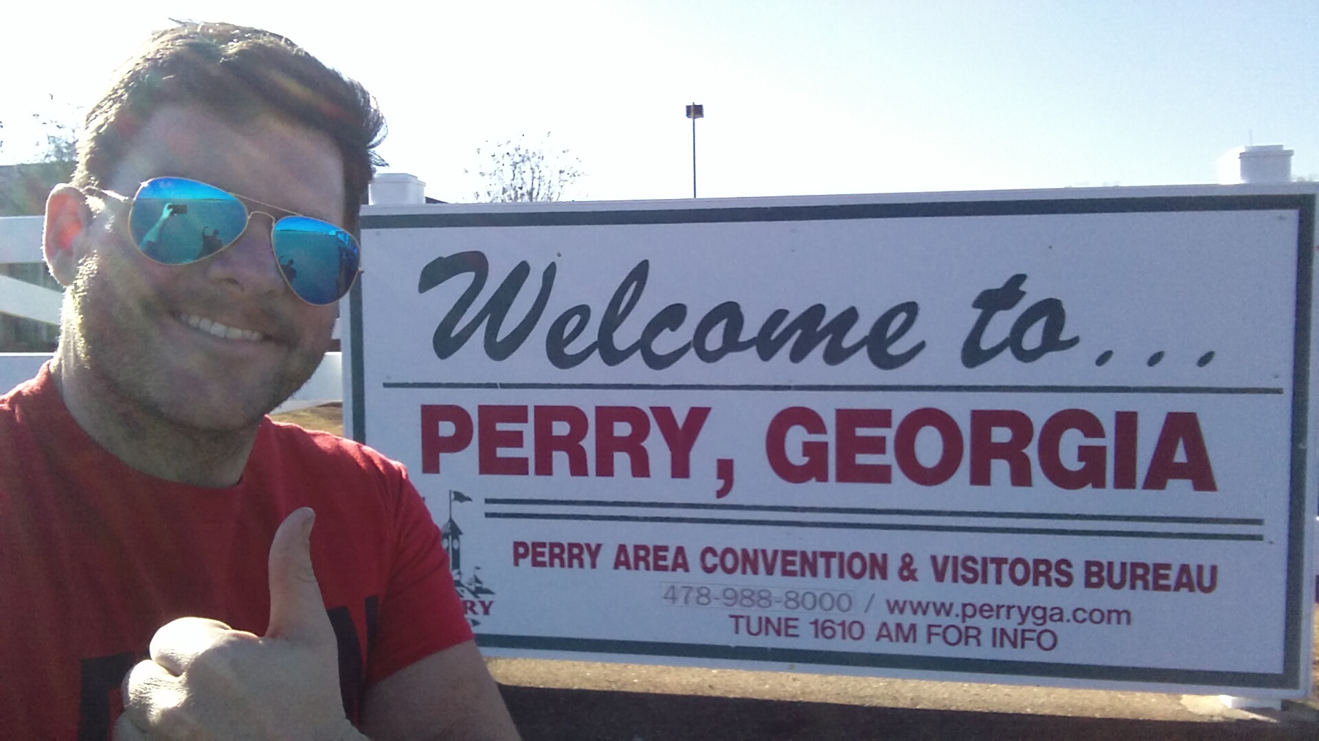
After packing the plane and saying goodbye to Mom and Dad, Andy and I departed Macon Regional (KMCN) and hopped over to the nearby Perry Airport (KPXE) to fill up on cheap gas. This added about 45 minutes to our departure from the area but saved us a few dollars (in retrospect, I’m not certain that it was worth the extra time). Just as I finished fueling up, I saw a familiar Mooney taxiing in - the owner is active on Mooneyspace and had given me an ‘intro to Mooney’ ride a few years back as I was beginning my aircraft purchasing journey. I ran over to his hangar and spent a few minutes catching up and telling him about the trip and new plane plane.

The flight from Middle GA to Dallas was uneventful. From Georgia to west Louisiana, we cruised at 4,000 ft to minimize the headwinds. This was successful, with ground speeds in the 150-160 kt range, while burning about 13 gallons/hour. We crossed the Mississippi for the second time in a week, this time chasing the sun towards the horizon. Somewhere over west Louisiana, we began to see the first signs of the stationary front.
Climbing up to 6,000 ft, we stayed above the cloud layer until we neared the Dallas Bravo airspace. I had chosen Arlington Municipal (KGKY) as my Dallas stop for cheap gas and the ILS approach (nearby Grand Prairie is GPS or VOR/DME only). This approach (my second IMC approach in this plane) was much smoother than the prior one in Georgia. I still exited the clouds a bit off the center line, but with 2500 ft ceilings the safety margins were acceptable.
As we taxied up to the FBO (Harrison Aviation), Rahul came out to greet us. Fresh off five hours of flying, Andy and I were starving. Harrison Aviation lent us their crew car and recommended a local BBQ spot for dinner, so we headed out to stuff our faces. After eating, we returned to the airport, grabbed gas, picked up our clearance, and blasted off into the overcast for our final destination for the day: Albuquerque.
Leg 2 - Dallas, TX to Albuquerque, NM
The departure clearance from Arlington was the most complicated clearance I had received to date, using a SID to depart the terminal area before linking up to the Victor airways. Furious scribbling ensued, but I managed to read back the entire clearance correctly. Takeoff was uneventful, but just as I entered the cloud deck, the controller starts issuing a new routing. From my weather brief, I anticipated that we would exit the cloud layer at around 5,000 ft, so I requested an initial heading to the new fix to allow me to get established on course (fly the plane) and map out the new route once I broke out on top. Luckily, the controller then asked if we could accept a direct routing to ABQ. Wonderful!
The remainder of the flight was idyllic. We cruised at 10,000 ft under a bright moonlit sky over a lovely blanket of clouds. At this altitude, the headwinds were worse but the fuel burn was lower (around 11 gallons/hour) to compensate. Shortly into the trip, Andy and Rahul fell asleep, leaving me to enjoy the calm of night flying. A few hours later, Approach cleared me for the visual to Albuquerque (KABQ). Once on the ground, we left the plane with Cutter Aviation who took great care of us - including a drop off at our hotel.
Leg 3 - Albuquerque, NM to Los Angeles, CA
Saturday morning, we decided to sleep in and recover from the late night arrival. Around 11 AM we headed to the airport to drop off our bags and borrow a crew car to go in search of lunch.
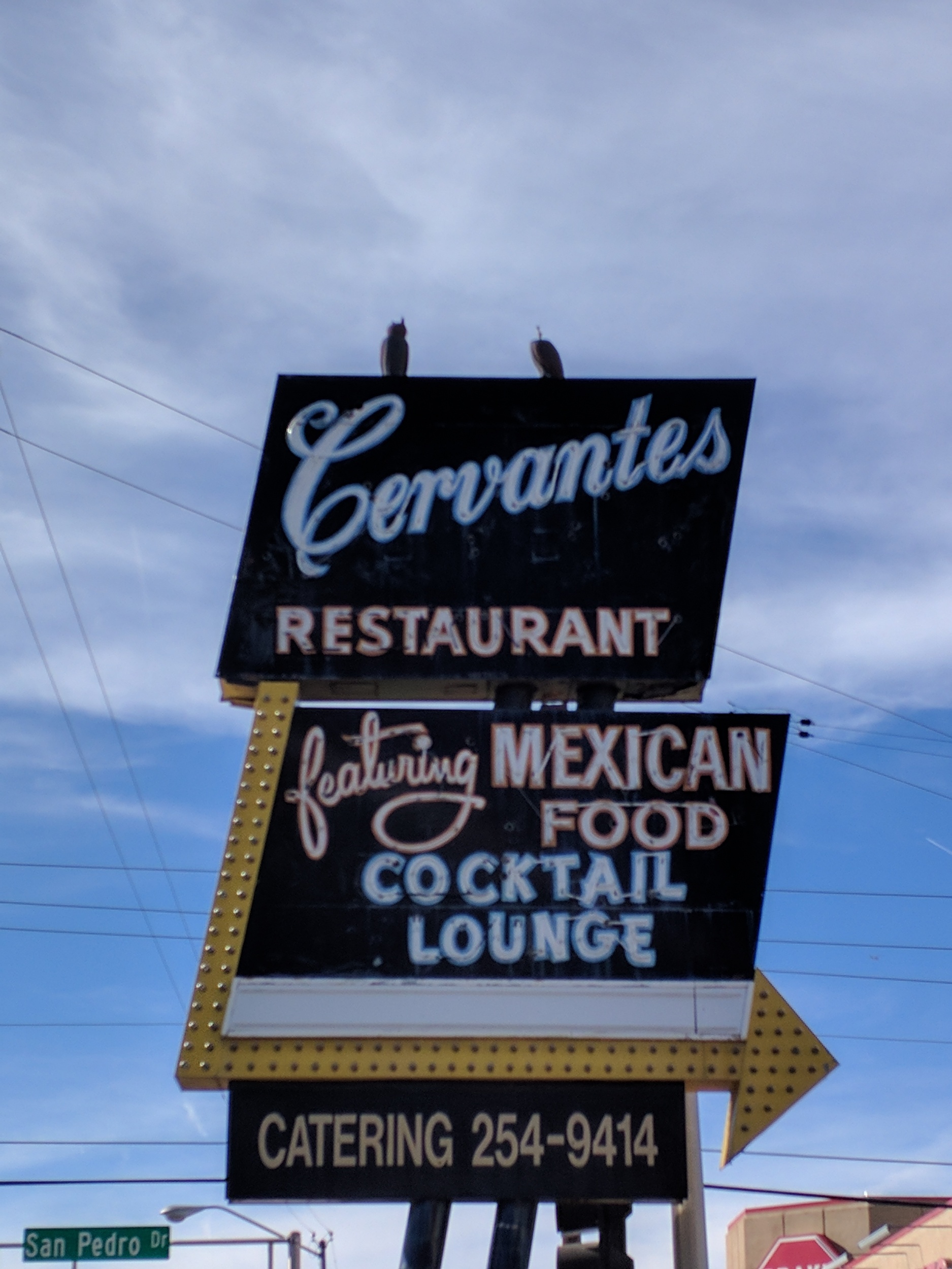
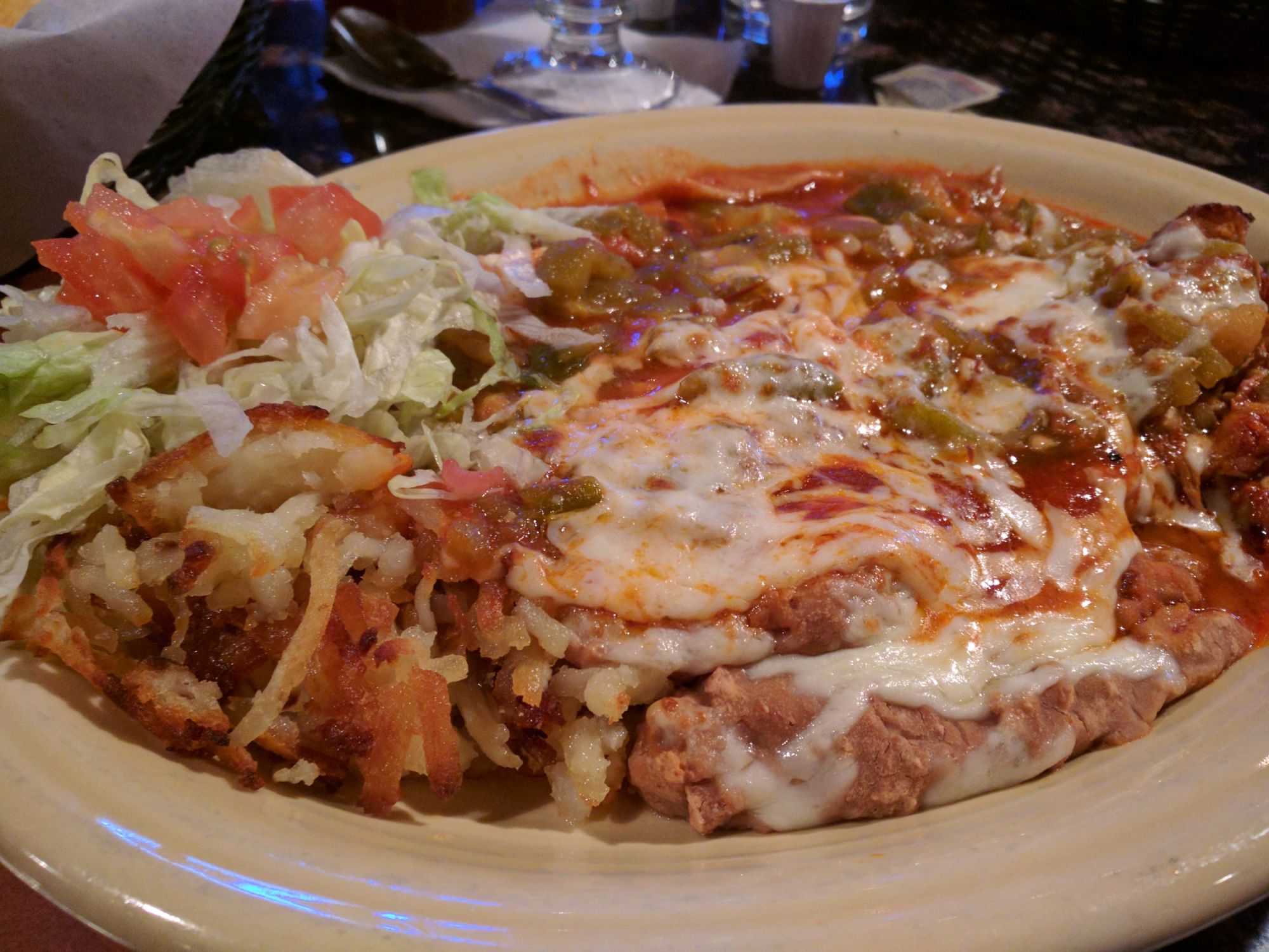
After a delicious meal at Cervantes restaurant, we returned to the airport, got our IFR clearance, and taxied out to the runway. Since we were on an IFR flight plan, ATC put us up to 12,000 ft to cross the mountainous terrain surrounding Albuquerque. At that altitude, we faced 20-30 kt headwinds, resulting in a five hour flight. We were once again traveling in VMC on an IFR plan, but checking ADS-B weather using my Stratux, Torrance was reporting 500 ft ceilings and 4 mile visibility - making the final approach the most difficult one of the entire trip. I began prepping the KTOA ILS OR LOC RWY 29R approach out over Lake Havasu. With an MDA of 381 ft, I should be able to successfully complete the approach, but I’d need to be much more accurate than on the prior two approaches.
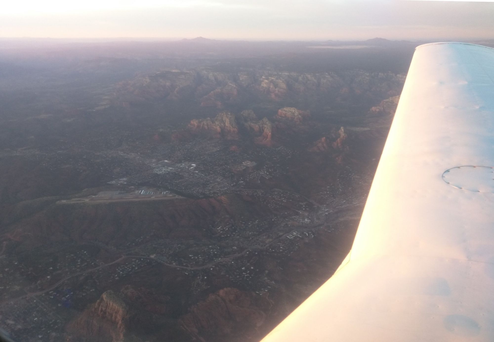

As we passed Palm Springs, the Torrance ATIS began to come into range - and had just been updated reporting clear skies! Apparently seems a breeze came over Palos Verdes and created a hole in the marine layer just large enough to provide a clear visual approach. I completed the pre-landing checklist, followed the final vectors from SoCal approach onto the localizer, and landed smoothly at Torrance.
As we taxied up to the ramp, Maoli was waiting for us with “Welcome Home” balloons in hand, which was an amazing greeting after our grand airplane adventure. Despite the excitement of travel, it is always great to return home! Maybe next time I can talk Maoli into adventuring with me…